Georadar
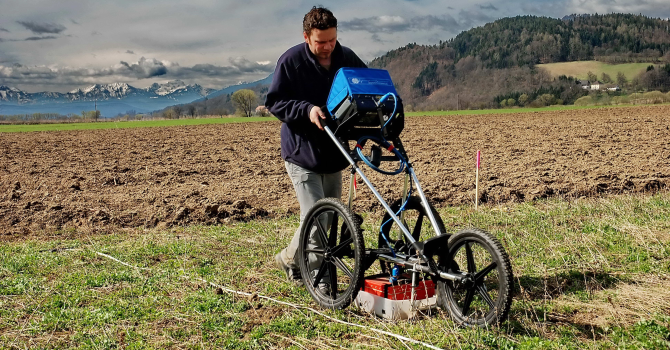
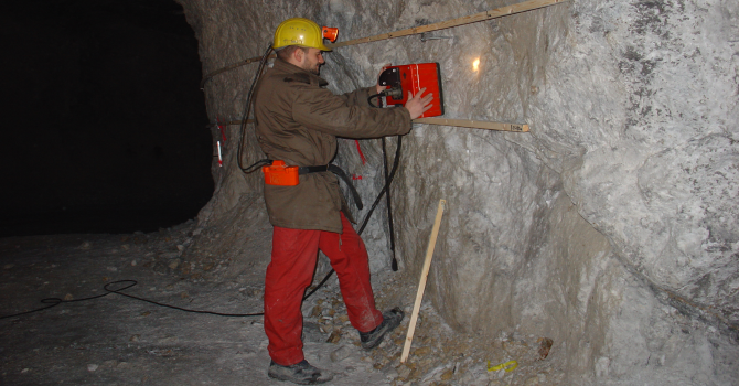

Ground penetrating radar (GPR) allows a non-destructive characterization of the shallow subsurface. Reachable reconnaissance depths range from few centimeters up to a few meters.
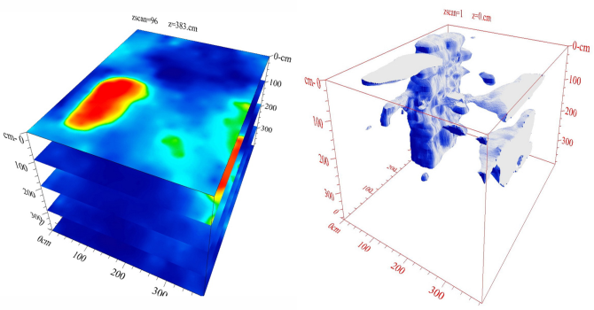
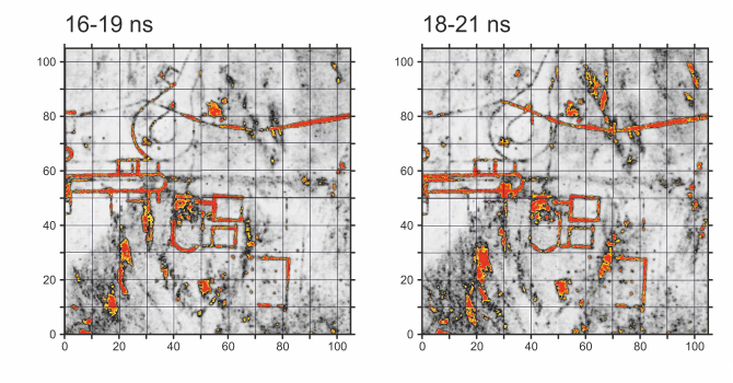
The method can be applied in geological and geotechnical issues, in mineral exploration (sand, gravel) and in engineering geophysics Other fields of application are archaeological surveys, location of subsurface installations, pipes, caverns, war relicts, road works, and tunneling.
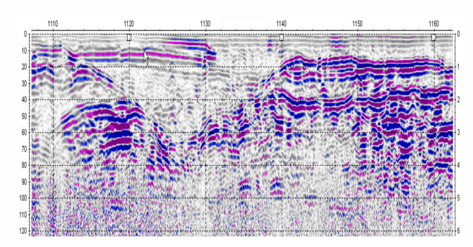
The GPR antenna emits high frequency electromagnetic waves, which are reflected and transmitted at stratigraphic boundaries. The percentage of reflected waves is proportional to the change in properties from one layer to the other. Emitted frequencies of the GPR antenna are typically between 20 and 2400 MHz. The frequency range of the chosen GPR antenna affects the depth of penetration and the resolution of the final image. Higher frequencies lead to lower depth of penetration. In addition to the frequency of the GPR antenna the depth of penetration is also affected by the electrical conductivity of the subsurface. The higher the conductivity of the subsurface, the lower the depth of penetration will be. The conductivity of the subsurface is directly related to shale and water content.