Seismic Refraction
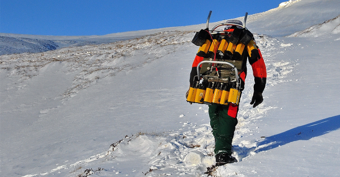
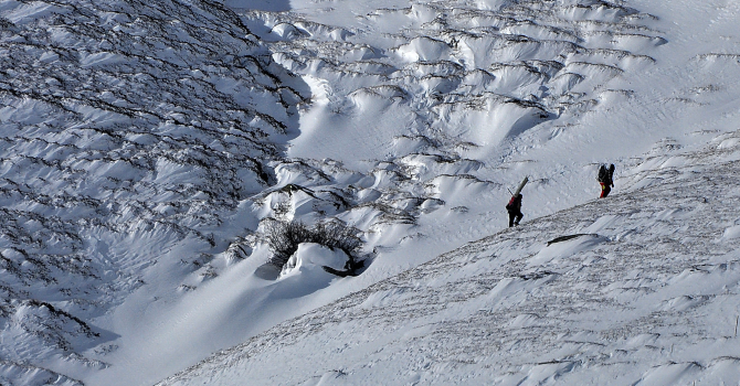
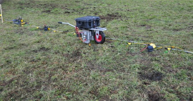
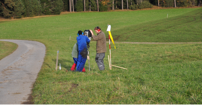
Seismic refraction surveys are based on the propagation of elastic waves in the subsurface. With the help of an energy source at the surface, artificial waves that propagate into the subsurface with a specific rock-depending velocity are induced. At sequence boundaries with contrast in rock properties waves are refracted. The refracted waves are recorded on the surface using geophones. The geophones are arranged in a line with equal distances. The distance between those geophones directly affects the resolution of the final image. The total length of the profile is a measure of depth of investigation.
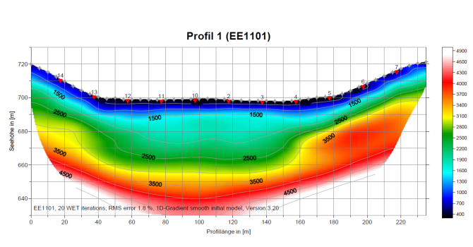
For the processing of seismic refraction data Geo5 uses two different methods. Processing using Palmer’s generalized reciprocal method can be applied for a layered subsurface with distinct changes in elastic parameters. An example for such a case would be a water saturated formation above hard rock. For continuous transitions in elastic parameters, such as in landslide areas, a tomographic processing leads to better results. Ideally, both methods are applied and compared to each other.
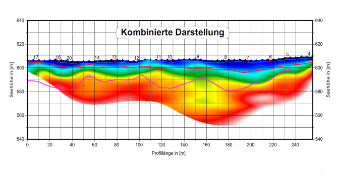
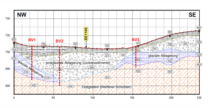
The result of seismic refraction processing is a velocity model of the subsurface with defined velocity boundaries. Based on these velocities it is possible to delineate rocks or sediments. Typical fields of application are geological, hydrogeological, and geotechnical surveys such as mineral exploration, groundwater studies, and landslide investigations.